

Eduardo Belluti Logo
Let’s talk
ProductMy ContributionImpactOpen project

AI INFRASTRUCTURE

Turning Stranded Capacity Into AI Infrastructure

PhysaFlow · Infrastructure intelligence and capacity orchestration

My Contribution

Product strategy · Positioning · Go-to-market · Product

Impact

0→1 product launch

Interactive utilization calculator

DIGITAL HEALTH

Scaling Remote Monitoring Beyond the Clinic

Overnight respiratory monitoring connecting patients, devices and clinical teams

My Contribution

Product strategy · UX · Clinical workflows · Delivery

Impact

90% nightly adherence

50%+ daily engagement

HEALTHCARE OPERATIONS

Turning Medicare Rules Into Product Logic

RPM workflow translating reimbursement requirements into patient and clinician experiences

My Contribution

Product logic · Workflow design · Data analysis

Impact

+30% successful readings

−66% connection failures

DATA + AI INFRASTRUCTURE

Mapping the Physical Infrastructure Behind AI

Data product exploring data-center growth, power demand and clean-energy readiness

My Contribution

Data analysis · Modeling · Visualization

Impact

Reproducible analysis

Interactive data product

DESIGN ENGINEERING

Building the System Between Design and Engineering

Production healthcare design system connecting Figma and reusable React components

My Contribution

System architecture · React · Design systems

Impact

Reusable production system

Faster design → code

CONSUMER WELLNESS

Scaling Wellness Across Five Platforms

Grokker ecosystem spanning web, mobile, watchOS, tvOS and Roku

My Contribution

Product design · Growth · Design systems · Multi-platform

Impact

+15% engagement

+20% conversion

Logo

I build things to answer questions. Some become working products. Some stay as experiments. Others are simply a way to understand a problem by building it.
ProjectsDescription
Year
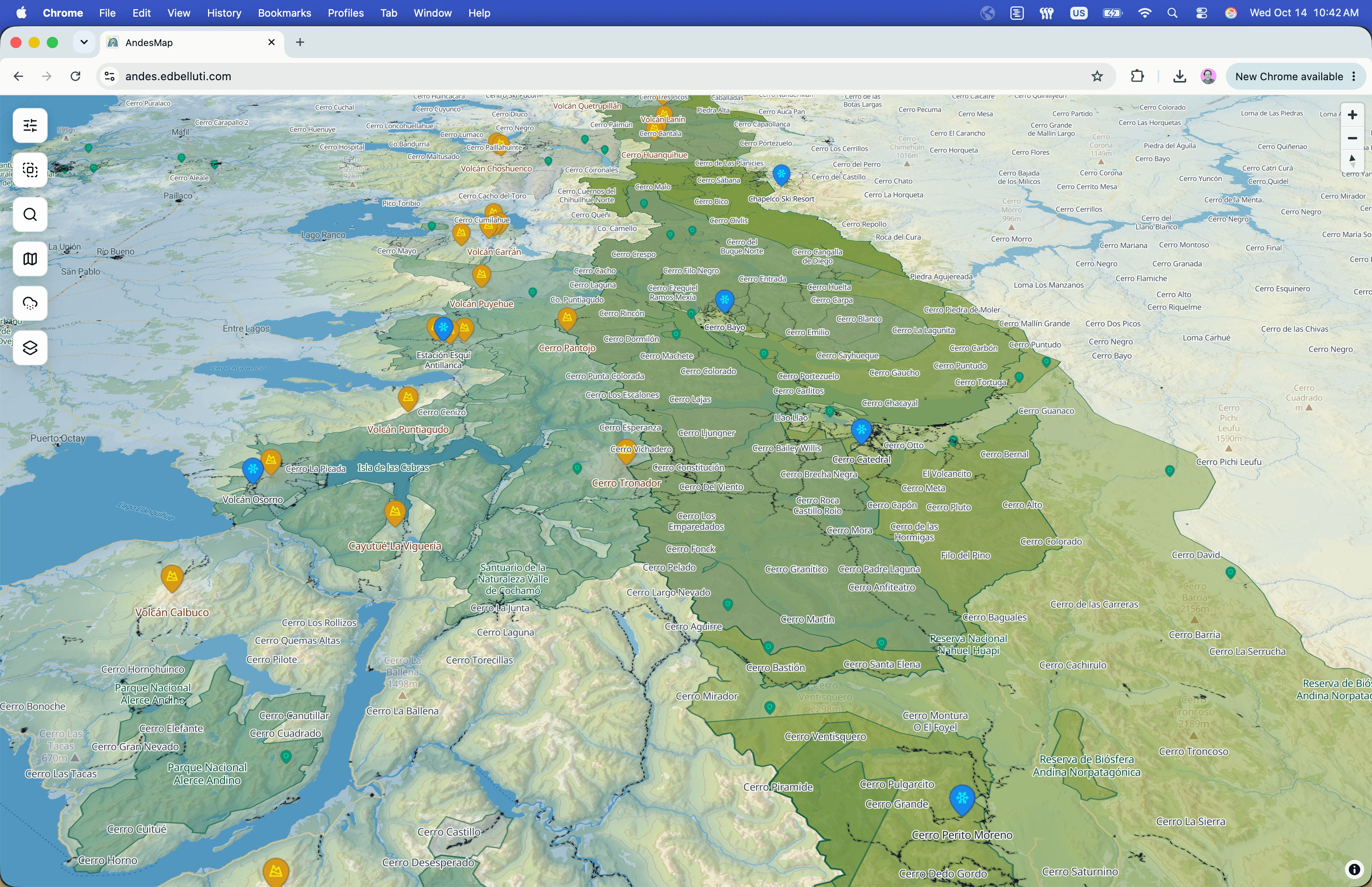
  • Mapping Andes Backcountry Ski

    Geospatial

    Andes Map

    A geospatial tool for planning ski mountaineering and volcanic expeditions where Google Maps stops being useful.
    2025
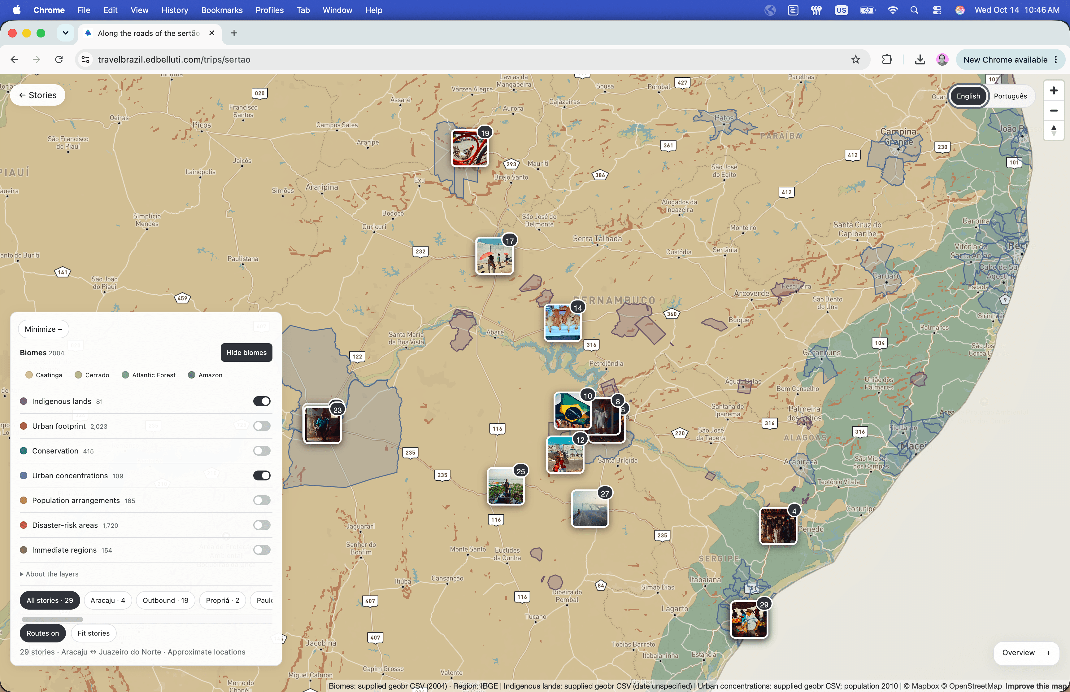
  • When Photography Becomes Data

    Data + Art

    Government data + Photos

    An interactive experiment connecting Brazilian photography to geography, environmental data, and place.
    2026
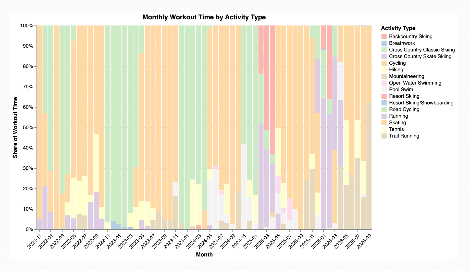
  • Analyzing my Garmin Data

    Python + Altair

    Personal Activity Data Analysis

    Analyzed years of Garmin activity data in Python and Jupyter, using Altair to uncover patterns in training behavior and turn the analysis into interactive visualizations.
    2026
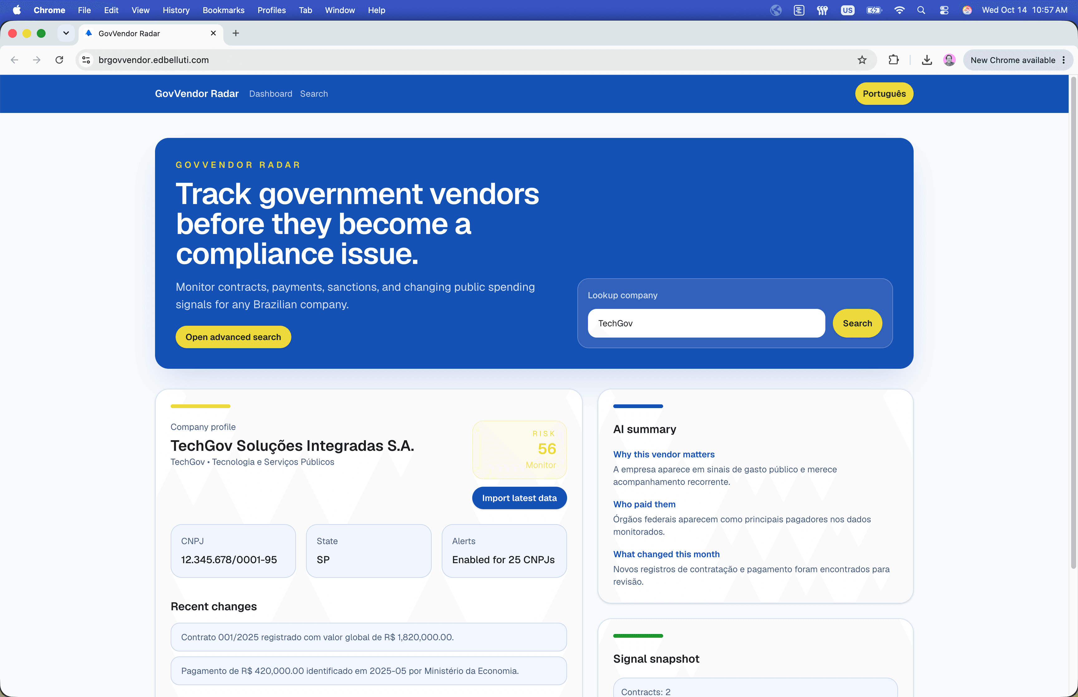
  • Where Does Government Money Go?

    Data + Finance

    Government Vendor Explorer

    Search and investigate Brazilian government contracts and vendors through millions of records without digging through spreadsheets.

    2026
  • Weather Without the Noise

    Weather + local

    Local Weather

    A deliberately minimal weather product that answers one question quickly: what is it actually like outside?

    2025
  • What Is the Economy Actually Doing?

    Data + Economics

    FRED Data Viz

    An interactive way to explore Federal Reserve data and uncover the economic signals hidden inside FRED.

    2025
1 / 2