
Landscapes in Relief
When walking through a place, you feel its slopes, enclosing mountains, and open valleys. These maps explore how to bring that sense of landscape onto a screen.
Built with Observable, MapLibre, OpenFreeMap, and elevation data, the series moves from mountain landscapes into city streets.
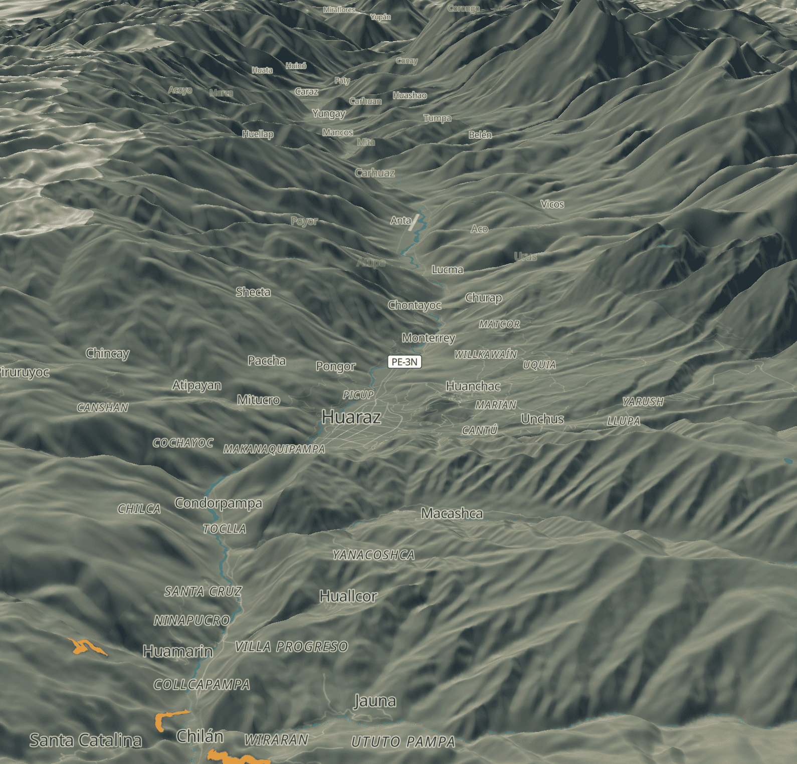
Huaraz, Departamento de Ancash
Exaggerated relief and an oblique view bring the scale of the mountains around Huaraz into focus, evoking the feeling of moving through a deep valley.
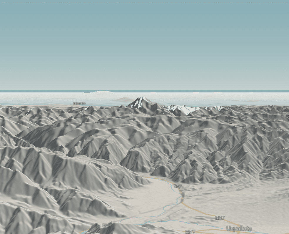
Uspallata, Mendoza
Looking from Uspallata toward the towering Andes and Aconcagua, a low perspective captures the feeling of the mountains rising beyond the open valley.
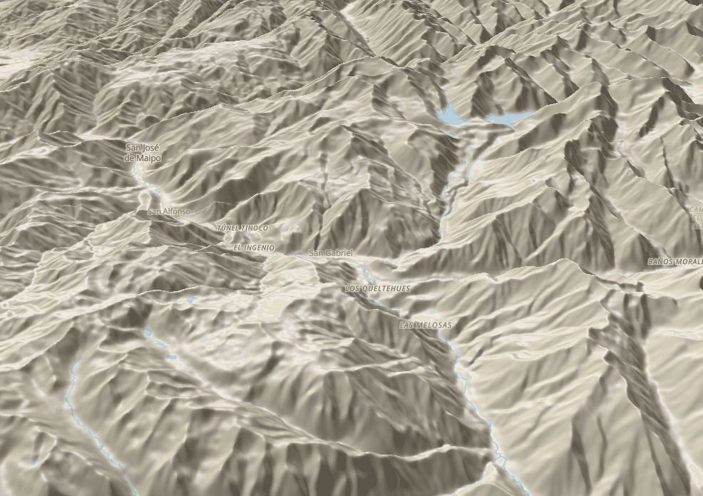
Cajón del Maipo, Provincia de Cordillera
A quieter view follows the Maipo River between mountain slopes, tracing the narrow corridor that gives the valley its shape.
Explore the Cajón del Maipo map
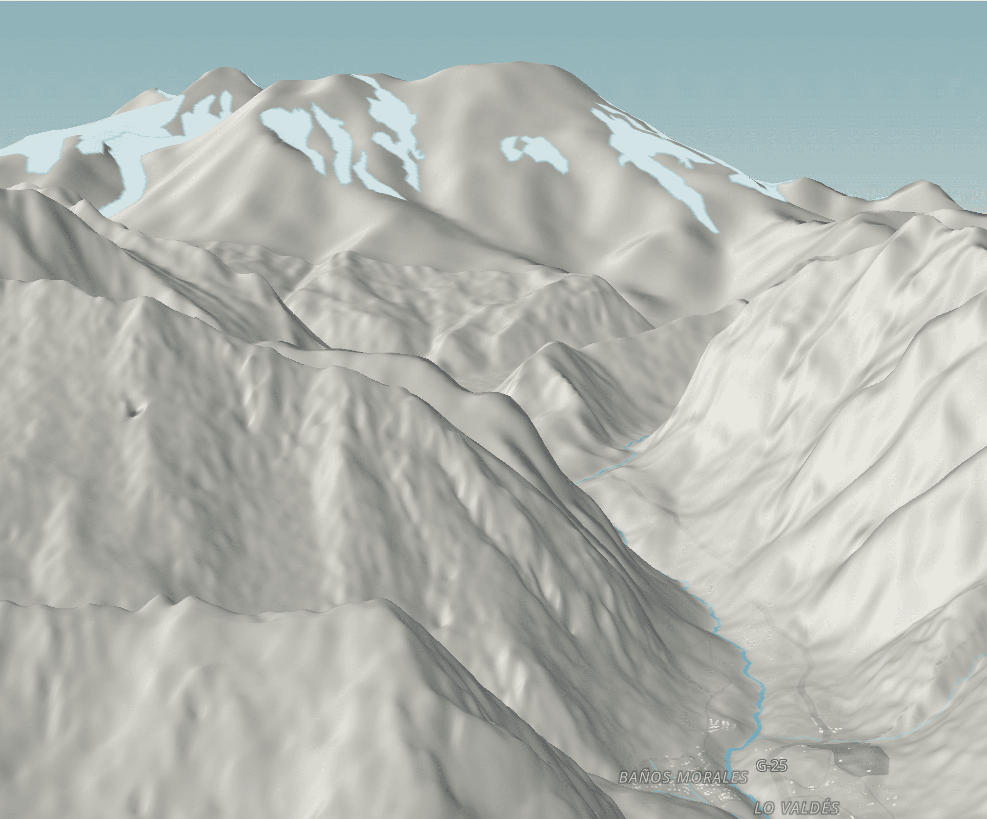
Baños Morales, Cajón del Maipo
A view from Baños Morales follows the valley toward the high Andes, where steep slopes frame a winding river and snow-covered peaks rise behind them.
Cânions do Viana, Piauí
A low viewpoint reveals branching valleys and canyon walls, bringing the enclosing relief closer to what you feel from the valley floor.
For an on-the-ground perspective, see this Cânions do Viana off-road route on Wikiloc, with route details, waypoints, and photos.
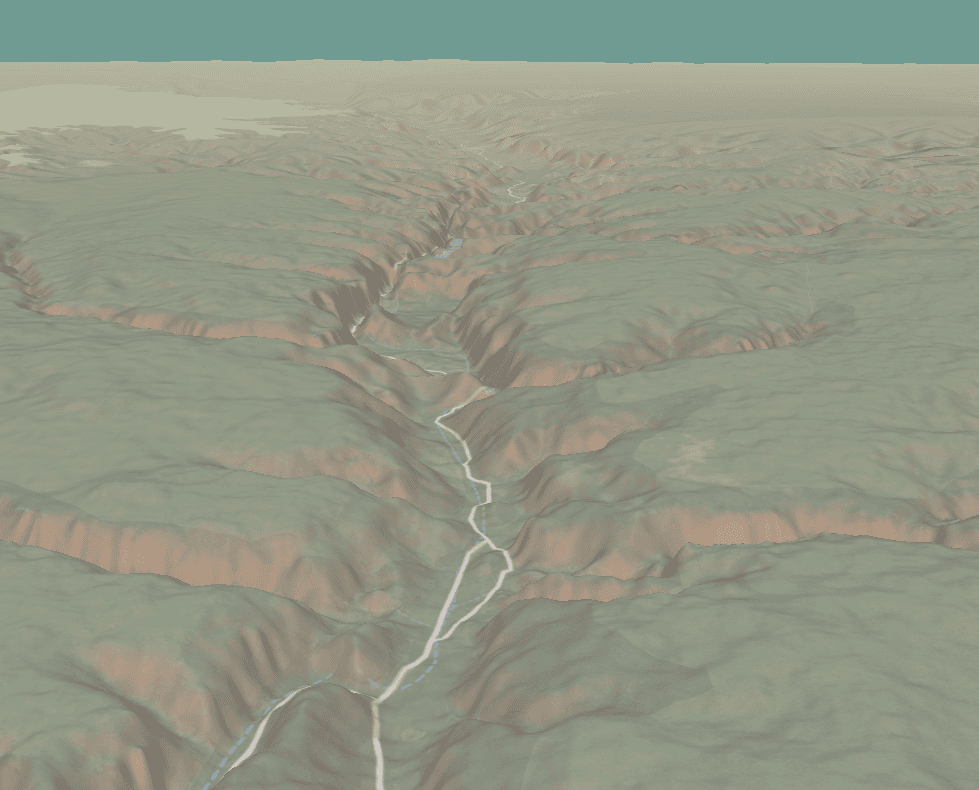
Explore the Cânions do Viana map
Maciço da Tijuca, Rio de Janeiro
A close view of the Maciço da Tijuca follows trails and waterways between steep slopes, with Pico da Tijuca rising above the surrounding valleys.
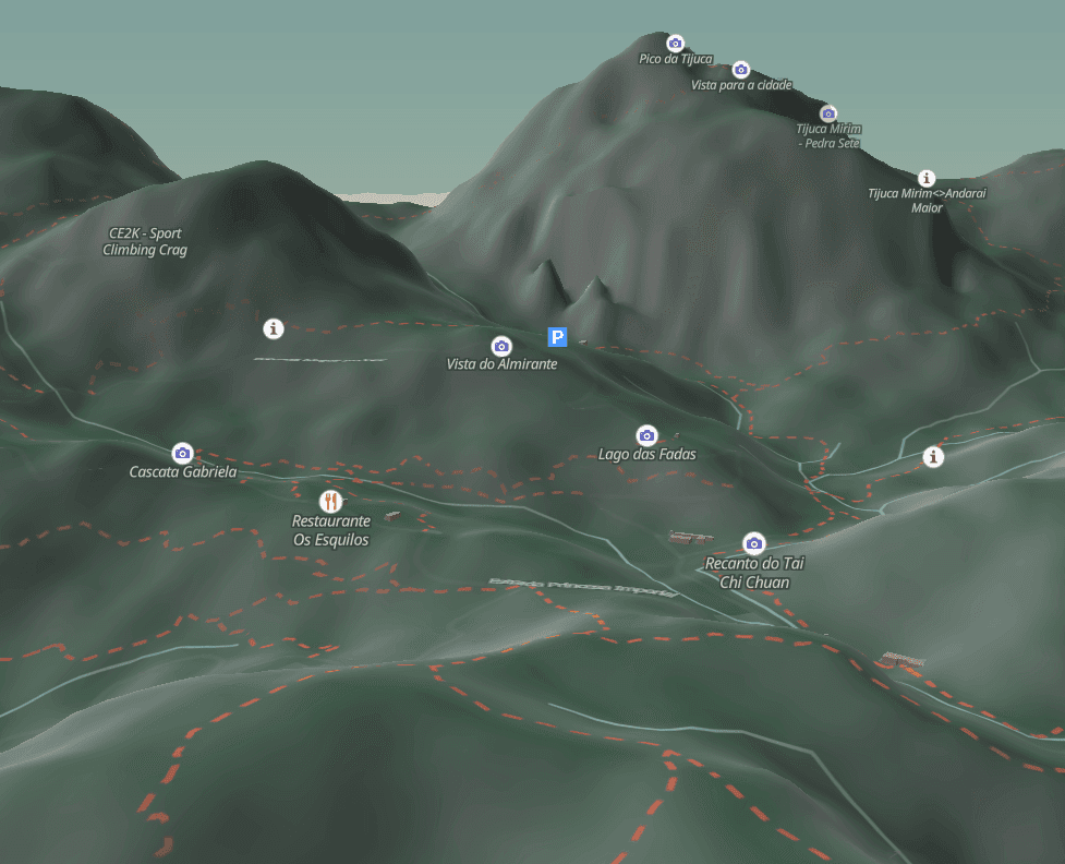
Explore the Maciço da Tijuca map
Usina, Rio de Janeiro
Mountains frame the neighborhood while buildings and waterways follow the valleys, revealing the landscape you sense from its streets.
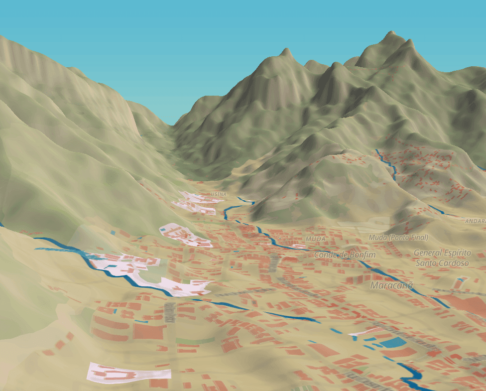
Envigado, Medellín
Orange buildings stand against green slopes, connecting the streets of Envigado to the mountains rising beyond them.
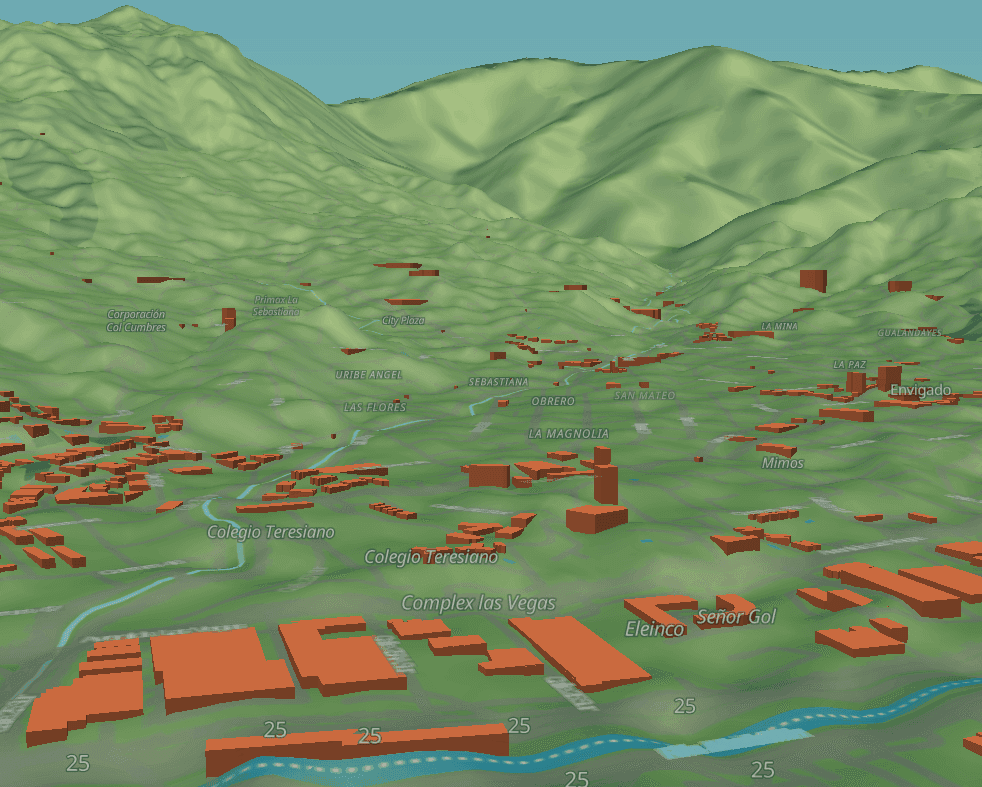
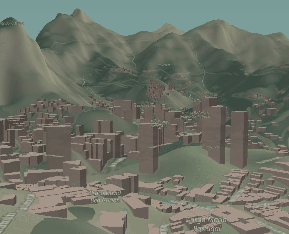
Cosme Velho, Rio de Janeiro
A closer view places buildings beneath steep mountain slopes, evoking the feeling of looking up from the neighborhood’s streets.
A Sense of Place
My aim is to make the landscape felt: the rise of a slope, the enclosure of a valley, and the way a city sits within it.
View all my Observable notebooks
Elevation also shapes the weather questions behind Tiempo and route planning in AndesMap. These are part of my geospatial and interactive product experiments.